Drone-Based Fodder & Pasture Intelligence
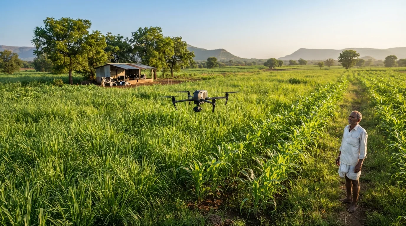
Aerial images and mapped field observations help larger operations evaluate fodder plots, irrigation patterns and crop development.
Drone & fodder
Drone-Based Fodder & Pasture Intelligence
Aerial images and mapped field observations help larger operations evaluate fodder plots, irrigation patterns and crop development.
Why it matters
- Map fodder plots and observe field variability
- Flag irrigation or crop-stress patterns for validation
- Support field inspections and seasonal planning
- Buy aerial monitoring as a service — not necessarily a drone
What Auroxvet coordinates
- Define acreage, survey frequency and decisions needed
- Arrange drone imagery through qualified providers
- Produce map-based reports with partner data
- Explore a recurring fodder dashboard
Best fit: Large fodder farms, FPOs, dairy cooperatives and institutional fodder programmes.
Specific capabilities depend on the selected device. Drones, robotics and equipment installation are supplied only through suitable qualified partners.